Project Description
There is a large uncertainty in global Blue Carbon burial due to poorly constrained estimates of global coverage of submerged aquatic vegetation (SAV is seagrasses and brackish/freshwater angiosperms), regional disparities of in situ data availability, and significant differences in the nature of SAV ecosystems derived from functional and morphological differences among species. The research group is developing processing steps for extracting SAV distribution and biomass from appropriately resolved multispectral imagery (commercial and public) that ultimately can be scaled up to provide global coverage when combined with information on submarine bathymetry, water quality and species composition.
Their prior efforts demonstrated that semi-quantitative density (e.g., percent cover) estimation of SAV by expert analysts could be achieved without the need for radiometric calibration or atmospheric correction using high spatial resolution imagery provided by WorldView-2 (WV2) and WorldView-3(WV3). However, automated classification and quantitative retrieval of absolute SAV density (biomass density or leaf area index) needed for quantitative assessment of Blue Carbon resources required radiometric calibration and atmospheric correction that was accomplished on a scene-by-scene basis. The group is developing a machine learning based SAV algorithm based on the Chesapeake Bay with the potential to be used across geographies.
Project Lead
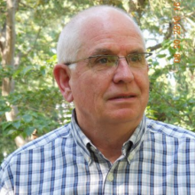
Richard Zimmerman, PhD, Professor, Old Dominion University
Richard Zimmerman is Professor of Ocean & Earth Sciences at Old Dominion University. His scholarly interests focus on the biogeochemistry, productivity and remote sensing of coastal ecosystems, with particular emphasis on seagrass meadows. His research combines controlled laboratory experiments with in situ and remote field observations to develop predictive numerical models that explore the impacts of climate warming and ocean acidification on coastal ecosystem dynamics.
Additional Collaborators
Peter Tango, Chesapeake Bay Monitoring Coordinator/Acting Deputy Director, United States Geological Survey (USGS)
Brooke Landry, Chair, Chesapeake Bay Program’s SAV Workgroup, Maryland Department of Natural Resources
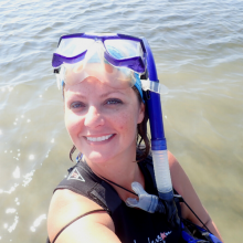
Brooke Landry is a Natural Resource Biologist at Maryland’s Department of Natural Resources and Chair of the Chesapeake Bay Program’s Submerged Aquatic Vegetation (SAV) Workgroup. Her work spans the gamut from SAV research – focused primarily on anthropogenic drivers of SAV dynamics - to restoration, monitoring, outreach, and management. She runs one volunteer-based SAV monitoring program and will be implementing a second, sentinel-site monitoring program for Chesapeake Bay SAV in 2022. On the management front, she leads the development and implementation of the Bay Program’s SAV Management Strategy and biennial workplans by translating her own research and that of partners and collaborators into actionable approaches to SAV conservation and recovery. Additional interests include social marketing as a means of environmental outreach and the advancement of women’s roles in science and management through positive collaborations and mentoring.
Victoria J. Hill, PhD, Assistant professor, Old Dominion University
Jiang Li, PhD, Professor, Old Dominion University
Blake Schaeffer, PhD, Research Scientist, United States Environmental Protection Agency (EPA)

